As part of the PhD course "Spacecraft Perception and Navigation of Space System" held by Prof. Paolo Panicucci, a thematic seminar by Prof. Roberto Opromolla will take place focusing on LIDAR-based navigation for in-orbit servicing scenarios.
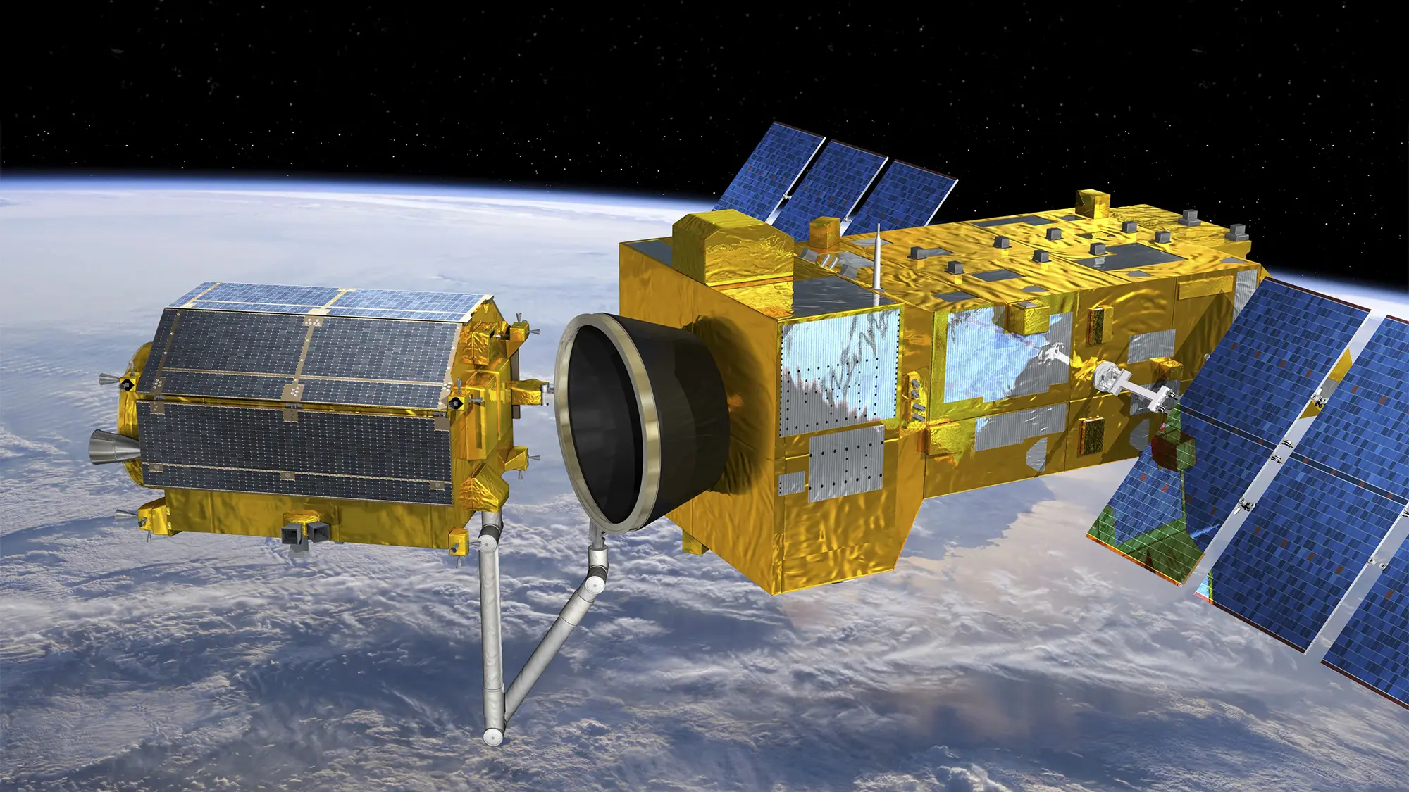
This talk focuses on the use of LIDAR systems for autonomous relative navigation of a chaser spacecraft operating in close proximity to a non-cooperative space target.
Such technology is expected to play a key role in enabling future servicing and debris remediation missions.In particular, it reviews the activities carried out at the University of Naples “Federico II” over the past ten years, covering the complete relative navigation pipeline from pose acquisition and tracking to target inertia and motion parameters estimation.
Results are presented from both numerical simulations and experimental validation campaigns.
Emphasis is placed on performance aspects such as achievable pose accuracy and computational complexity, while also highlighting the importance of designing fault-tolerant architectures and planning relative trajectories that take navigation constraints into account.
Speaker
Dr. Roberto Opromolla is an Assistant Professor at the University of Naples "Federico II" (UniNa), where he teaches Onboard Systems Laboratory, Space Flight Dynamics, and Spacecraft Dynamics and Control, within the Aerospace Engineering degree programs. His research focuses on technologies and algorithms for autonomous aerospace systems, with applications in both space and aeronautics. In the space domain, he conducts activities on Guidance, Navigation, and Control (GNC) for spacecraft proximity operations and formation flying, with particular emphasis on electro-optical relative navigation, spacecraft attitude determination, and Space Surveillance and Tracking (SST). In the aeronautical field, his research addresses autonomous multi-sensor navigation of UAVs in GNSS-challenging environments; air-to-air and ground-to-air detection and tracking of cooperative and non-cooperative targets using radar and cameras; and onboard calibration of multi-sensor systems. Dr. Opromolla has been involved in several research projects funded by national and international institutions (including ASI, ESA, MIUR, and the EU) and by private companies, serving as UniNa Principal Investigator for five GNC-related projects. He is the author of over 120 scientific publications and is an active member of the IAA Permanent Committee on Space Debris and the IAF Space Traffic Management Committee, where he coordinates the working group on Future Operations - IOS, IOM, and Spacetugs.
Free admission, open to all members of the university community and the public, subject to availability.